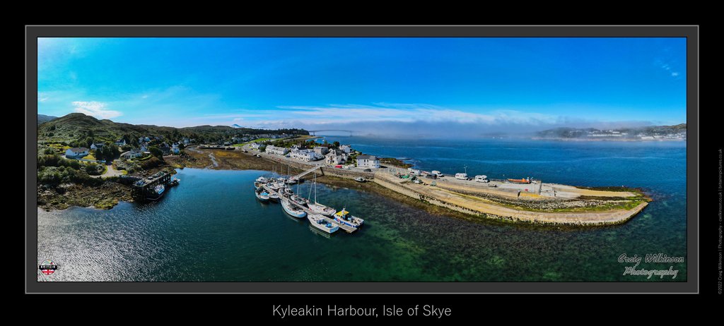
Kyleakin Harbour
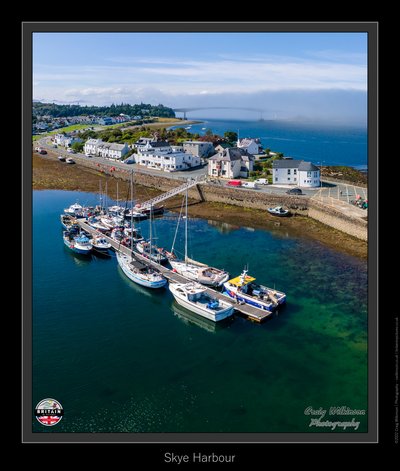
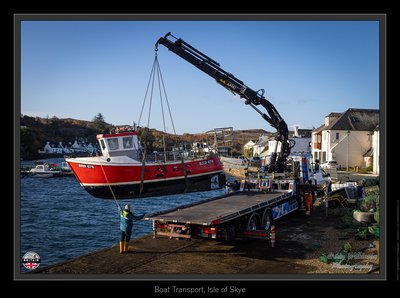
Photos at this Location

Sun & Moon Positions
Sun and moon directions from your standing position
—
—
Milky Way
Kp 3.340.0 nT
Sun and moon lines start from the blue person (your standing point). Orange camera = photo location. Unlock the padlock, then drag the person or camera—or tap the map—to adjust positions (not saved).
Photography Planning
What3Words
Add an API key in Admin → API Keys to enable.
EXIF Data
0 photos with camera metadata
Location Details
- Address: Highland, GB
- Latitude / Longitude: 57.27371, -5.72428
- Grid Ref: NG7557926483
- Wiki: Kyleakin (opens in new tab)
-
Added by:
 Craig
Craig
Drone restrictions
- Log in to see flight restriction zones for this location.
Tidal location
Loading tide times…
View Statistics
- Total views72
- Today5
- This week16
- This month72
Nearby Locations
- Old Boat 0.1 mi
- Skye Bridge 0.7 mi
- Coral Beach 4.2 mi
- Plockton 5.4 mi
- Eilean Donan Castle 7.8 mi
Location Comment / Info (0)
Log in as a member to post a comment.
No comments or info yet.