
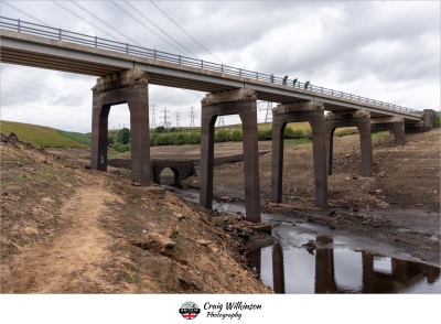
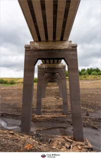
Baitings Dam, Old Bridge
Photography location imported from Britain in Pictures beta.
Photos at this Location
Sun & Moon Positions
Sun and moon directions from your standing position
—
—
Milky Way
Kp 2.315.1 nT
Sun and moon lines start from the blue person (your standing point). Orange camera = photo location. Unlock the padlock, then drag the person or camera—or tap the map—to adjust positions (not saved).
Photography Planning
What3Words
Add an API key in Admin → API Keys to enable.
EXIF Data
2 photos with camera metadata
Photo EXIF Data
Baitings Road Bridge
Camera: Canon EOS R5
Date taken: 2025:07:13 21:53:13
Baitings Roadbridge
Camera: Canon EOS R5
Date taken: 2025:07:13 21:51:52
Location Details
- Address: M273+P7 Sowerby Bridge, UK
- Latitude / Longitude: 53.664261, -1.99676
- Grid Ref: SE0031218642
- Tags: Sunset
-
Added by:
 Craig
Craig
Drone restrictions
- Log in to see flight restriction zones for this location.
Tidal location
Loading tide times…
View Statistics
- Total views25
- Today3
- This week9
- This month25
Nearby Locations
- Hardcastle Crags 6.6 mi
- Gibson Mill 7.2 mi
- Shibden Hall 7.8 mi
- Castle Hill 9.7 mi
- Singing Ringing Tree 11.4 mi
Location Comment / Info (0)
Log in as a member to post a comment.
No comments or info yet.